


September 2019
Author’s note:
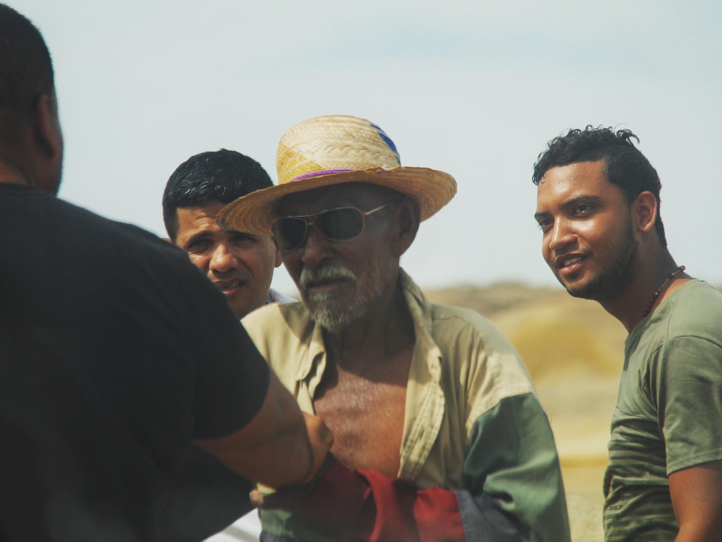
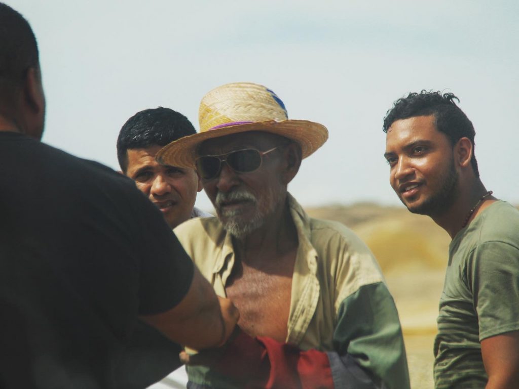
*** I rarely travel with a guide any more, but decided to do so this time after the sad passing of a friend I had traveled with earlier on this trip. Barry and a group of three other travelers decided to discover La Guajira on their own, but somewhere along the way, the brakes of the car they had rented failed (it was later discovered it had failed its MOT) and they plummeted down a small cliff onto the beach. The three other people on board suffered injuries, but survived. Sadly, Barry passed away on his way to the hospital shortly afterwards. Barry was only in his mid-thirties and his passing was not only a tragedy, but a waste of a life of a kind, happy and generous man. This piece is dedicated to him. ***
———————————————————————————————————————————–
As our truck reels away from the Colombian town of Riohacha, where we’ve stopped to refuel and stock up on supplies, little do I realize that this is the last major sign of civilization that I’ll be seeing in the next week.
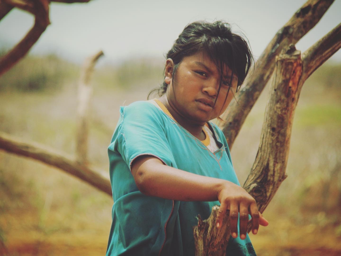
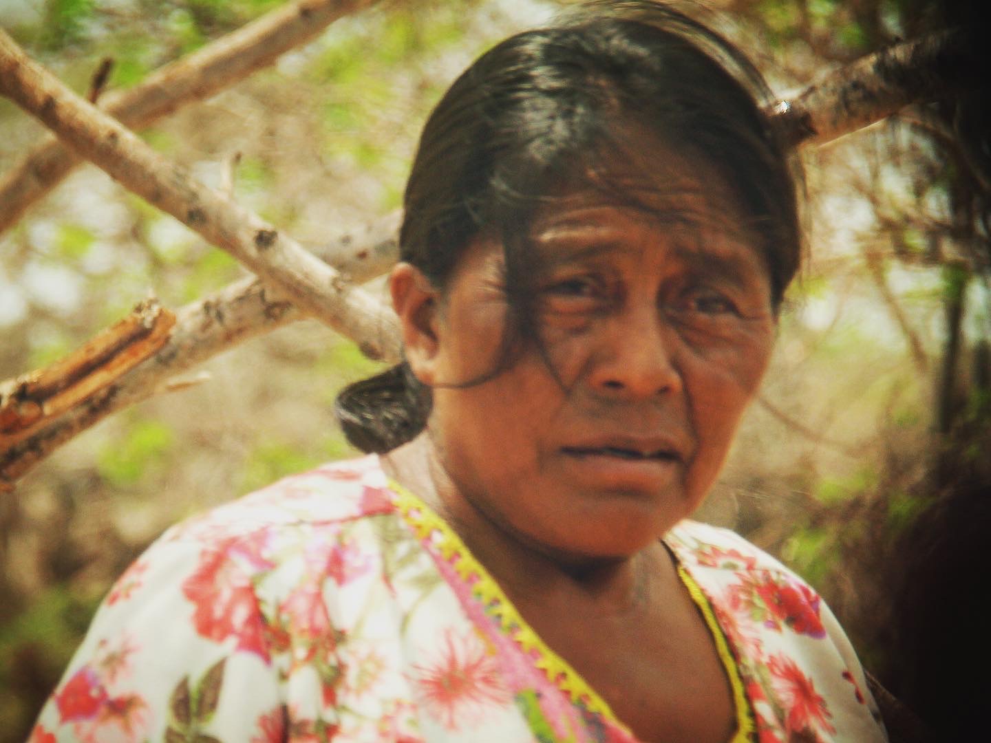
Our final destination is Punta Gallinas, the northern most point of the South American mainland. Punta Gallinas, just like the rest of La Guajira peninsula which spreads from the top of Colombia, across the border to neighboring Venezuela, is home to the indigenous Wayuu people.
Considering that to the west of Riohacha, you can mostly find tourist-friendly beach paradises, national parks of incredible beauty and cities of indescribable colonial architecture, it is easy to understand why many of the locals here feel that this part of the country has been completely forgotten and ignored by the Colombian government.
Conditions here, in the driest part of Colombia, are difficult. With the exception of the last three months of the calendar year, rain is rare and the weather is constantly hot and arid. As you’d expect, vegetation is scarce, mostly made up of spiky bushes and cacti.
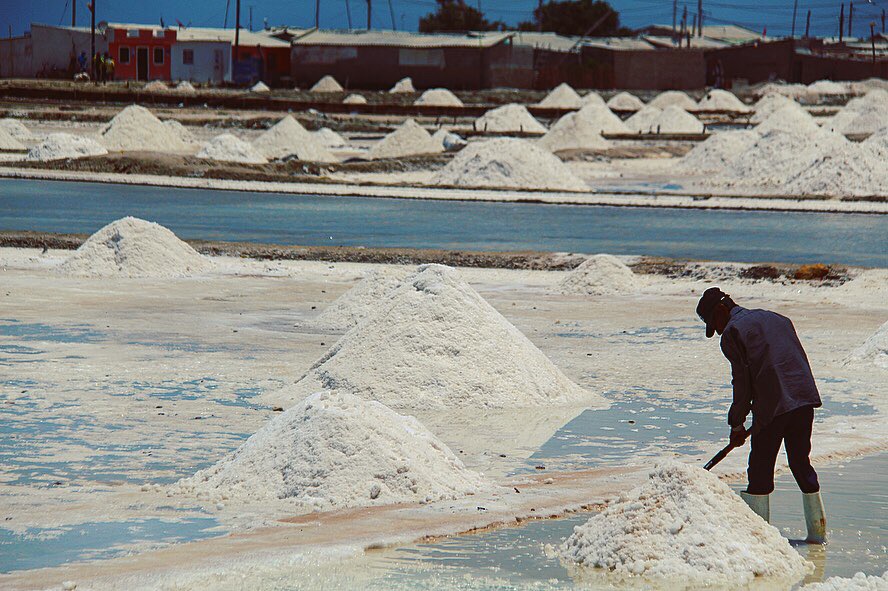
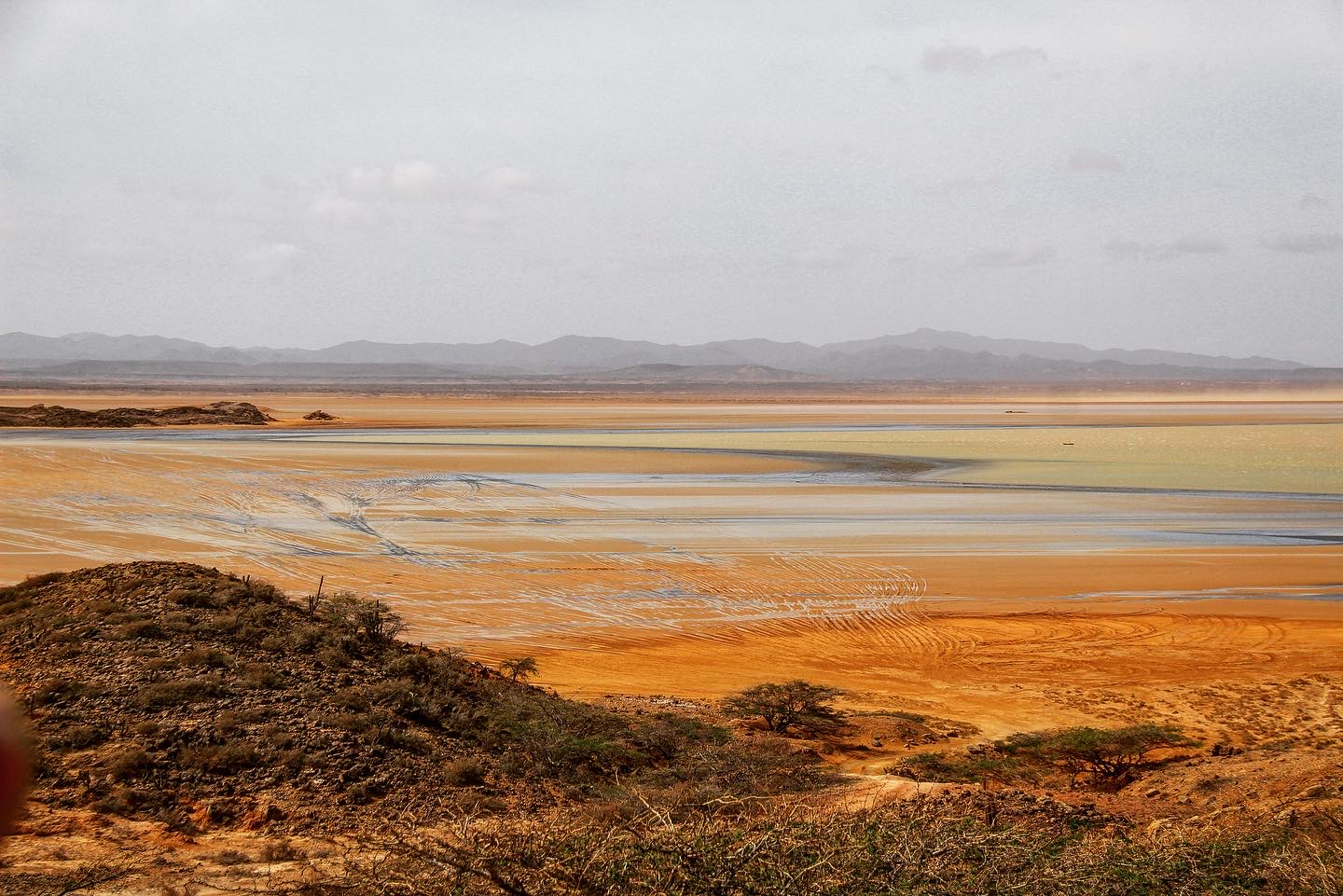
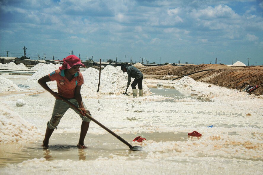
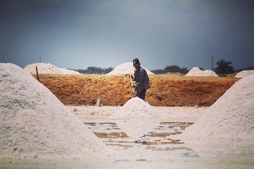
On the way to the tip of the continent, we pass by the salt flats of Manaure, where people work under the scorching sun to produce roughly one million tons of salt per year. Or in simpler terms, to produce what constitutes around 70% of the country’s (50+ million people) total production.
The area is over 4000 hectares in size and the atmosphere is somewhat surreal, as the scattered hills of salt recently created by the local workers, reflect in the ponds of water where they have just been dug out from. One of the workers tells me that they start working as early as possible in order to avoid the incessant heat, but the work is tough and the hours long and it is not unusual to see them working under the baking sun as they are doing at the moment.
I ask if it offends him seeing the tourists who come to visit the flats posing against the salt hills they have worked so hard to dig up, but the man shrugs indifferently and tells me that anyone who can help their economy by purchasing some of their salt or products is always welcome here. We both perhaps conveniently choose to ignore the young crowd posing on a nearby salt hill as if playing out a scene from Scarface – yet another nasty stereotype Colombians often have to live with.

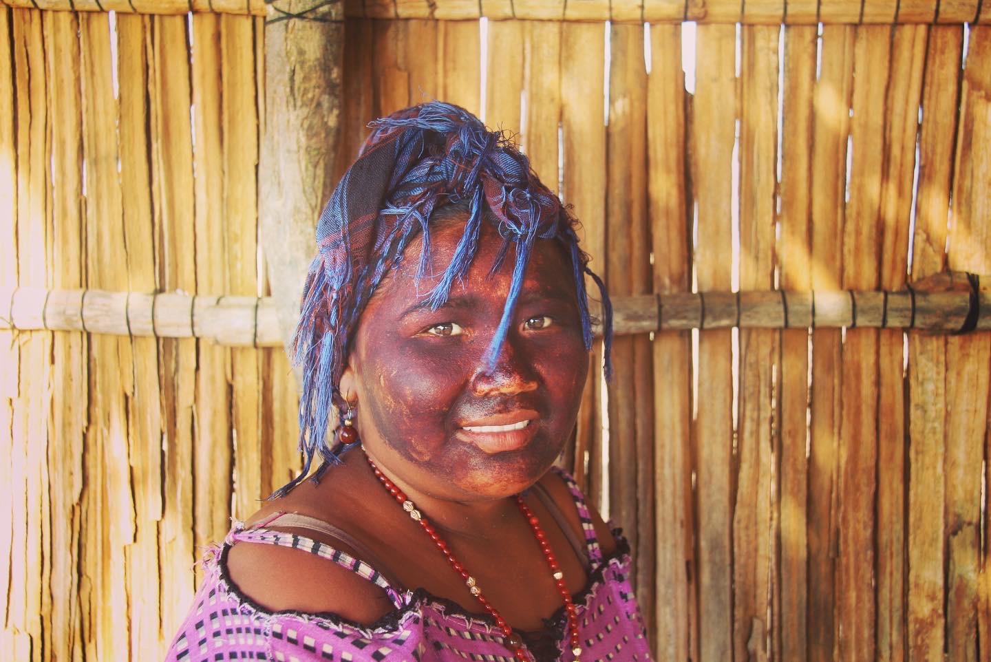
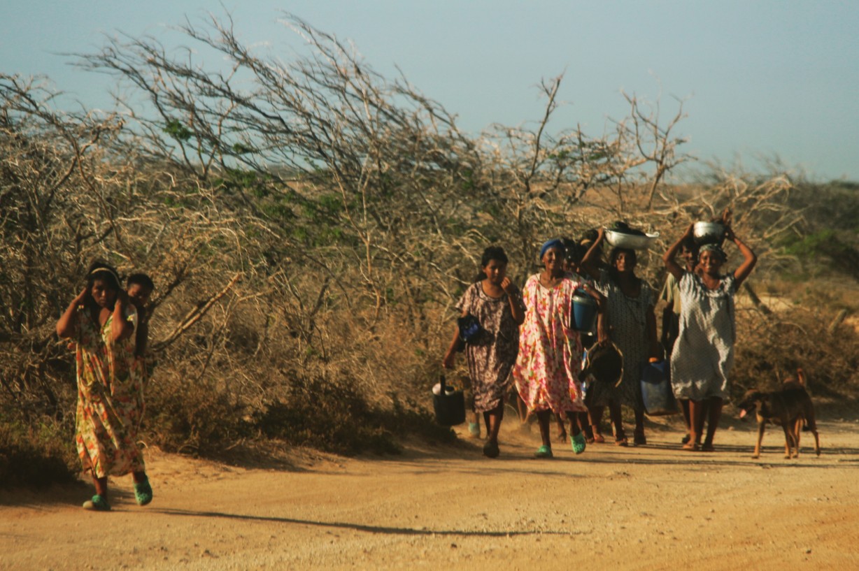
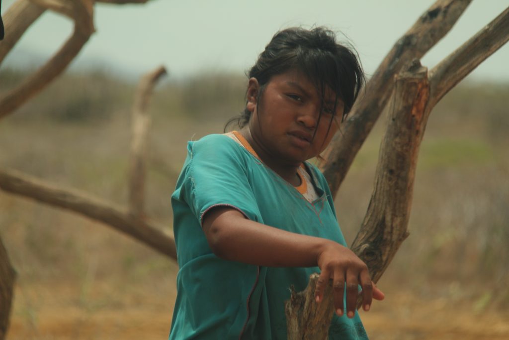
Our next stop is Cabo de la Vela – a little, beach town, famous for its massive waves and year-round winds that attracts kite-surfers from all over the world. The town itself is fairly unimpressive, with a few basic hostels scattered about, as well as some kitesurfing schools. Wayuu women and children walk around selling handcrafted products, such as some beautiful woven bags and hammocks.
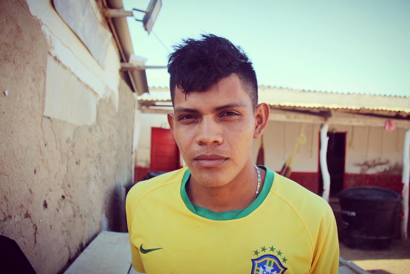
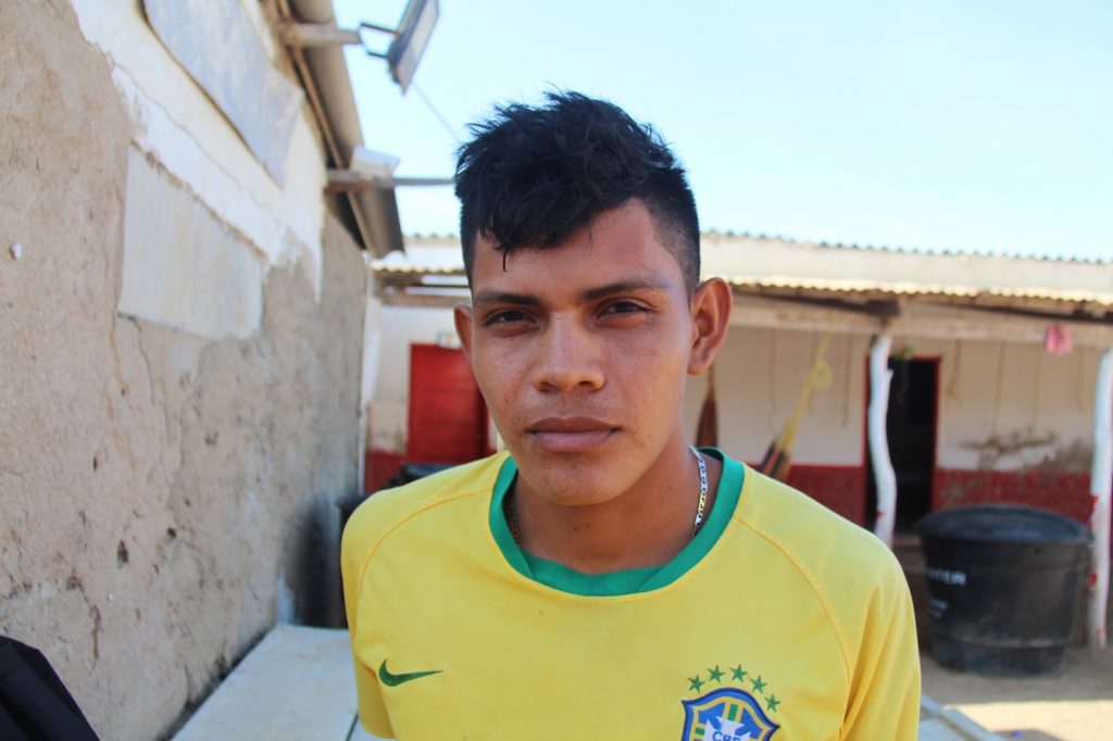
As we eat lunch in one of the small, local restaurants, I befriend Cesar, a 20-year-old man who seems to be pretty much running the establishment single-handedly. Sporting a Brazilian national team football jersey, he tells me that he comes from a large family of 12 siblings, but sadly the two oldest have passed away.
“It’s now up to me and my older brother to provide for the rest of the family. Life here is not that bad. If I had stayed in Riohacha, my only choice would have been to do what my friends do and drive a bike taxi. But everyone is a bike taxi driver there and Riohacha is only so big, so you only really make enough money to eat.”
I ask him if he runs the place by himself. “I used to have two workmates, but now I’m on my own. Same salary of course, but what can you do? Times are tough. Here I make 300,000 pesos a month (around 80 US dollars). It’s not that much, but it’s enough to live and send some money home. Sometimes I even get to buy some clothes if I’m lucky. You don’t live comfortably, but you live. I hope to move to a bigger city sometime soon though.”
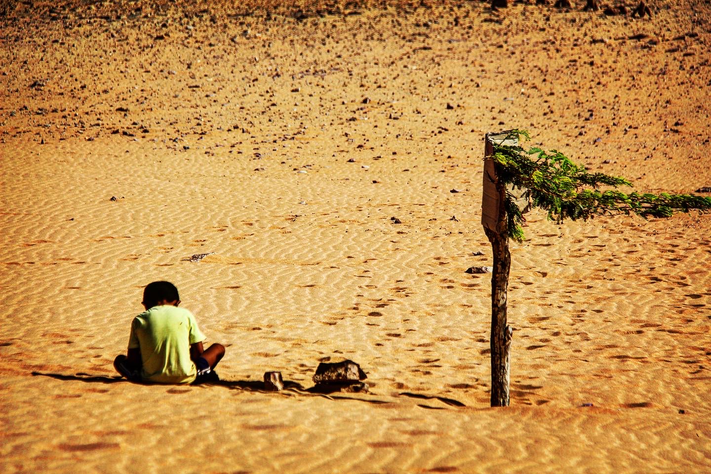
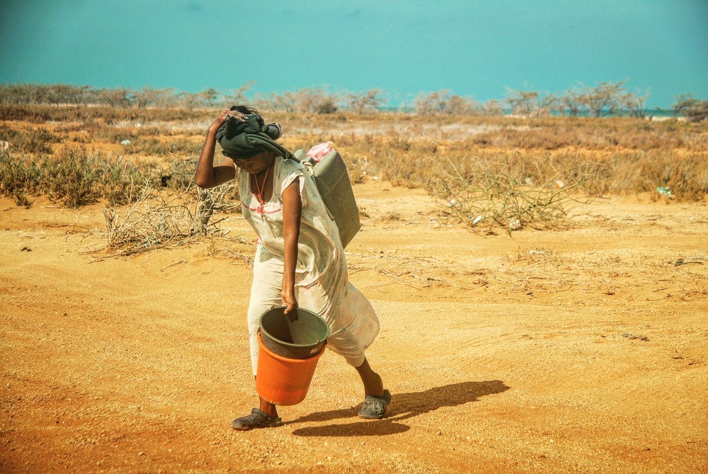
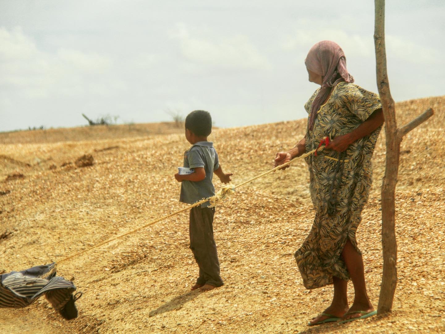
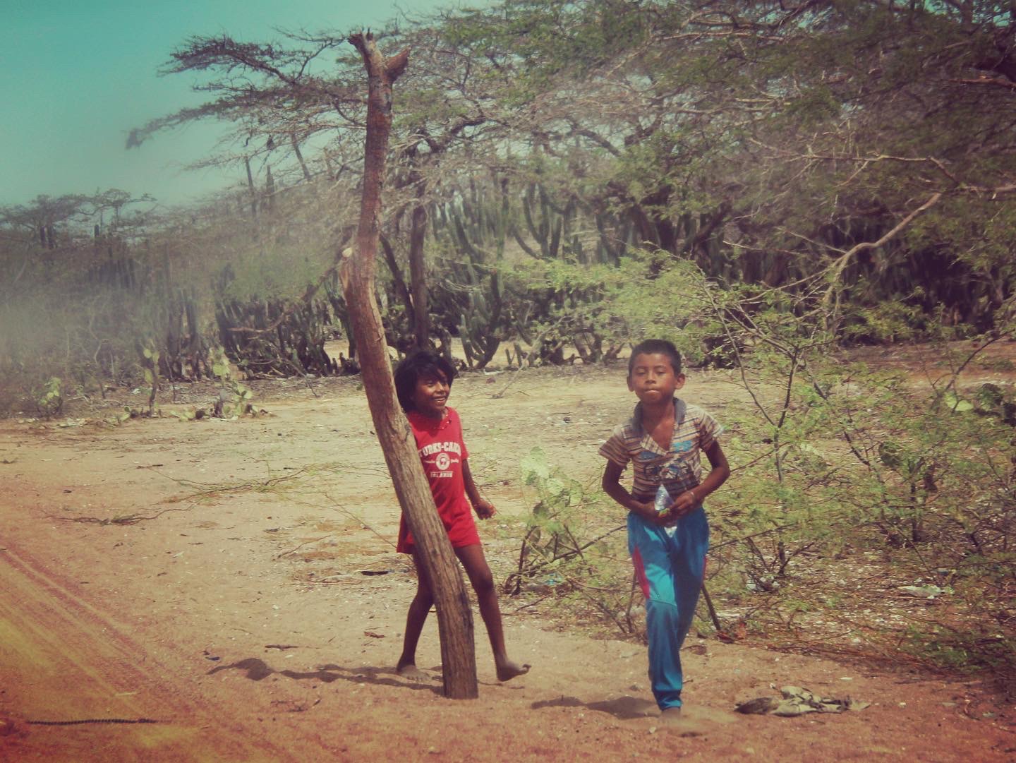
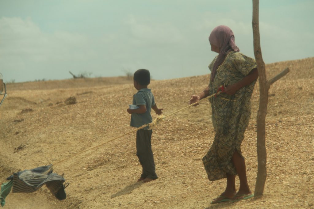
Getting back in the car, feels like stepping into an oven. To make matters worse, the air-con seems to have drawn its last breath. That aside, there’s too much to see and not much to complain about along the route. Sure, the landscape may be bare, but seeing people appearing out of nowhere to beg for money or food or water as we drive by is a sobering experience. I don’t even understand where they could have come from. Vegetation is minimal and I have hardly seen any buildings along the road.
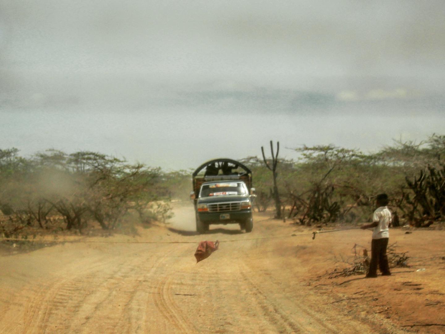
Our driver gives the first lot some cans of coke from our cooler and a few pesos, but after the umpteenth visitor to his window, he decides to drive on. If you want to survive in this kind of climate though, you need to be savvy and soon we encounter another group of women and kids who simply pull a rope up across the road, blocking our car’s path. The message is clear. If you want to come past, you’ll need to contribute. It’s a bizarre scene, especially seeing that our driver could simply choose to speed through and snap the rope as easily as twig in a giant’s fingers.
Their desperation would be almost laughable if it wasn’t so sad. It’s pitiful to think just how much these people have been neglected in this far-flung corner of the country. To his credit, our driver pays “his dues” by flinging a few bottles of water and some packs of candy in different directions. As the kids scatter to collect, he puts his foot on the gas and on we go.
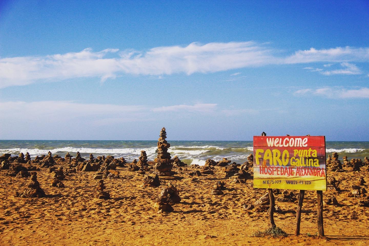
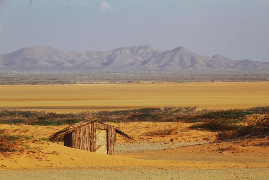
The first thing we encounter on arrival at Punta Gallinas, is an abandoned 18-metre-high metal tower, which once served as the Punta Gallinas lighthouse. Alongside it is a small, tired, mud shack with a sketched map of South America on its walls, pointing out our geographical location. Just like most other things around here, it feels derelict and uncared for.
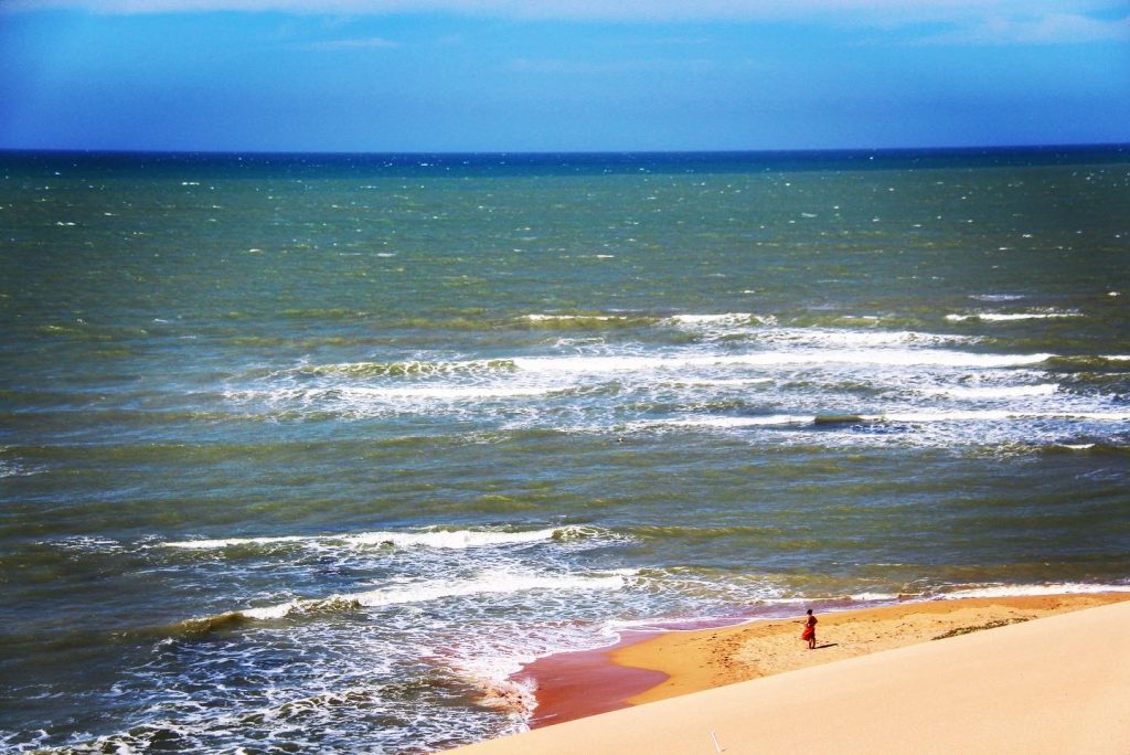
The rest of the area, however, is impressive. It’s not often you find a place where the sand meets the sea and the surrounding dunes – some reaching as high as 60 metres – majestically cascade into the Caribbean.
It’s been a long trip. A tiring one too. But it is one that has offered an eye-opening reality to what life in Colombia can really be like; far from the heaving metropolis of Bogota, the tourist-filled coastal city of Cartagena and the relaxing, quiet oasis of the country’s coffee region.
It may not quite be picture postcard worthy, but I have little doubt that it is the one place that will play on my mind the most, long after I have left this beautiful country.